Day 4: (August 31, 1999)
Day 4 was supposed to have been a relatively easy day, except in terms of difficulty because I had another difficult class 4 traverse. The traverse between Mt. Wilson and El Diente, is known as a difficult, dangerous climb. I was sick of all of these difficult, dangerous days and looking forward to some nice easy hikes. My fingertips were starting to get cut open from all of the scrambling. Since it had been wet the entire time, my fingers were dried out and each fingertip had bloody slits on them, and all the scrambling was getting painful. After the traverse I would climb Wilson Peak. I would not be able to climb Sneffels on this day, so I decided I would change my plan for day 5 and split it into two days, allowing me to go into the Elk range only one day behind schedule, but still one day ahead of the record.
We dropped off the trailer with the nonfunctional dirtbike on the dirt road going up to Silver Pick Trailhead. I remembered the road being all muddy the year before, and it had been so wet this year that I was not expecting the truck to make it all the way up. To our surprise, the road was in better shape than expected and we made it all the way up.
I packed up and started at 2:45pm, another late start. I told Laura to expect me back around midnight, and told her I would check in on the radio when I reached the top of El Diente. Although the sky had looked pretty treacherous, now there was some blue sky and I was very optimistic as I started up the trail. I made good time up the rocky road and it only took me an hour and a half to get to the 13,000 foot “Rock of the Ages” saddle between Wilson Peak and Point 13,540. From here I would have to drop to 12,000 feet to get to the base of El Diente’s North Slopes route, a treacherous class 3 gully. To my dismay, as I started descending into Navajo Basin, a storm quickly moved in and settled. It was raining hard by the time I got to 12,000 feet, and I took cover under my poncho for the next hour and a half as it rained hard. I was not happy, I did not want to do the Wilson – El Diente traverse in the dark, not to mention when it was totally wet. My right knee had been hurting on the way down from the saddle. I had never before had problems with my right knee, yet it was hurting me. This was depressing, but since so far it hurt only on the downhill, I figured I would go up and worry about the knee when I had to come down.
As I was sitting under my poncho, trying to stay warm, I noticed a small piece of blue sky in the west corner of the sky. I cheered for the blue sky to come over to me and finally it started making progress. The storm broke long enough for me to get going, only to start up and make me take cover again. The good news was that it was not an electrical storm. The blue sky fought back and in the evening sun I headed up El Diente. I stayed on the left side of the Couloir and found the route to be much better than the previous year when I had gone up the right side.
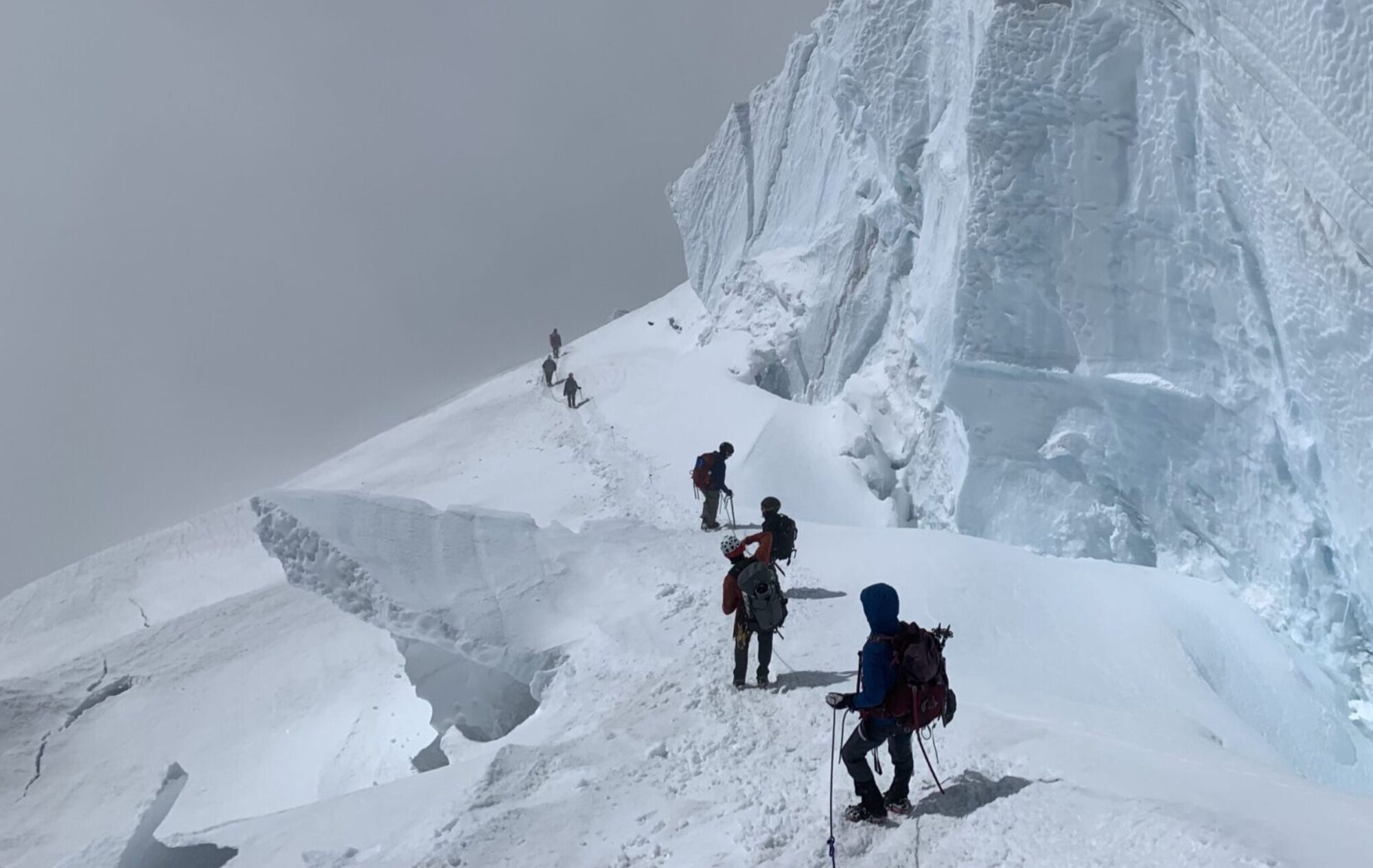
I summited El Diente at 7:15pm. I now had only an hour of daylight left to do the traverse to Mt. Wilson, which can easily take twice as long. I tried to radio to Laura but she wouldn’t respond. I was motivated to move by the approaching darkness, so I ignored my right knee and moved as fast as I could, completing the traverse in an hour and fifteen minutes. Parts of the traverse were very slick. The last few minutes of the traverse were dark so I needed my headlamp.
I reached the summit of Mt. Wilson at 8:30pm. About a year before I had climbed Mt. Wilson to finally complete all of the 14ers for the first time. My brother Joe was with me and it was also his last 14er. But this year was different, from that pleasant experience. Even though it was dark, I could see that the next wave of the storm was about to hit, and the clouds moving in were totally dark, and I could see flashes of lightning, that lit up the dark clouds. I started down the mountain. I wanted to get over to Wilson Peak as soon as possible, but my knee was killing me. I could barely walk. To make matters worse, the climb off the top of Mt. Wilson is class 4, and the rest of the descent is unpleasant rock fields and that was very hard on me. Before I got too far, the fog rolled in again so I couldn’t see where I was going, and the raining began again, although it was very light.
I traversed to the northeast until I reached a big year round snowfield, which helped placed me on the map. This snowfield is in the bowl between the 13er Gladstone Peak and Mt. Wilson. From here I descended north, every once in a while spotting a cairn. Whoever builds those cairns obviously doesn’t do it in the fog at night, because there was almost no chance of staying on route. With a lot of luck I was able to stay with the cairns until about 12,500 feet until I lost the trail completely. I wasn’t worried though, because I knew that all I had to do was keep heading north until I crossed the trail that would take me back to the Rock of the Ages Saddle.
I was getting tired and the going was slow because of my knee so I stopped and rested for 15 minutes. The rain was getting harder and the wind was picking up so I put on my poncho again, even though I was already soaked throughout. The wind protection provided by the poncho was still useful. I finally crossed the bottom of the basin, but I didn’t hit the trail. So I figured that maybe I was more east than I thought, maybe in the basin below and between Gladstone and Wilson Peak. I crossed some flat terrain and started headed up a steep hill. I figured the trail was somewhere to my left, and that if I kept going up I would cross it. I kept going up and up and now this was an extremely steep hill, I went all the way up to 13,000 feet before I realized that I was lost. The wind was coming up the hill and blowing my poncho up and over my face, so that I couldn’t see and it also was propelling the rain fast enough that it stung when it hit my face. The other thing about the slope I was on was that there were no big rocks. There was no place to take cover. Since I had no where to go I sat and huddled under my poncho. I was freezing and all my stuff was wet. I was trying to think of where I went wrong. Since I had not crossed the trail, I thought the trail was still to my left (west), so I got up and started heading west. Since I was contouring on the slope the going was difficult.
For a split second the clouds in the valley cleared and I could see across the valley, although all I could see was a silhouette, it appeared that I was directly north of El Diente. That meant that I was over a mile off course to the west. I must have crossed the trail and not seen it, back when I was at the bottom of the basin. Now that I thought I knew where I was, I headed east. I started doubting myself, and sat down again to try to think of where I could be. The storm was as bad as ever and the wind was unbelievable. I could hardly stand. I got back up and continued east. Soon I saw some signs of mining, and I came across the trail. I was near the pass and I remembered an old mining cabin I had seen on my descent into Navajo Basin, so I searched it out and took cover. It was totally soaked inside but provided excellent cover from the wind, which I could hear howling outside the cabin. It was a little past midnight and I was tired so I decided to try to get some sleep while I waited out the storm. I ate some food, pulled out my space blanket and tried to get comfortable. Two space blanket bivouacs in two days, this was starting to get ridiculous. I tried to radio Laura so she wouldn’t worry about me, but the radio was still not picking up anything.
Just like the night before, the space blanket kept me alive but certainly didn’t provide any comfort. I would wake up often, shivering uncontrollably. I would spend time rubbing my hands on my legs to try to generate heat, but was so tired that it was difficult. Once again my body was damp from the space blanket, and I could still hear that wind. Nevertheless, I got one hour of good sleep, and it was hard to leave the warmth of the space blanket and head back out into the night when I could no longer hear the wind (at 2:42am).
I made my way up to the saddle, then headed up to Wilson Peak, longer and more difficult that I was expecting, with one heart-breaking false summit.
At 4:06am I reached the summit of Wilson Peak (no summit register), and I was in rough shape. I was exhausted, and my knee injury was still hurting, my feet were killing, and my butt was still killing. I dropped too far down on the south side of Wilson Peak and by the time I realized my error, I was halfway to Gladstone. I crossed over the Gladstone – Wilson Peak ridge and headed back to the Rock of the Ages Saddle. As I headed down to the trailhead I discovered that if I went down the steep stuff backwards, using my hiking poles to balance, then I could relieve some of the pain on my knees. I would find this technique useful for the rest of the record attempt, although it did make for slow descending. Just before I made it to the trailhead I ran into some hikers who told me Laura was worried about me, so I hurried even more and made it to the trailhead at 7:30am.
Laura and I couldn’t figure out why the radios hadn’t worked, but in any case she made me a nice warm breakfast and I got in bed in the back of the truck. We elevated my legs (as usual), and she packed up and we were headed toward Sneffels.