Andrea, James, and I just came back from a week long scouting trip to the San Juans. My biggest impression was all of the snow! Andrea is trying to finish up the 14ers, so we climbed 9 of her remaining 18 14ers, and I was able to scout out some key parts of the San Juans.
June 6: Chicago Basin
Our first trip was to Durango Mountain Resort on June 6. We didn’t arrive until about 5:00 am, and without any rest we hiked 9 miles in towards Needleton via the Purgatory Flats trail. Then it is about 6 miles up a nice trail to Chicago Basin. There was hardly anyone else out on the entire trail, and with the rivers raging and waterfalls all around it was a beautiful time to be there.
We met some trail volunteers who surprised us by saying this was the least amount of snow they could remember seeing in the last 15 years.
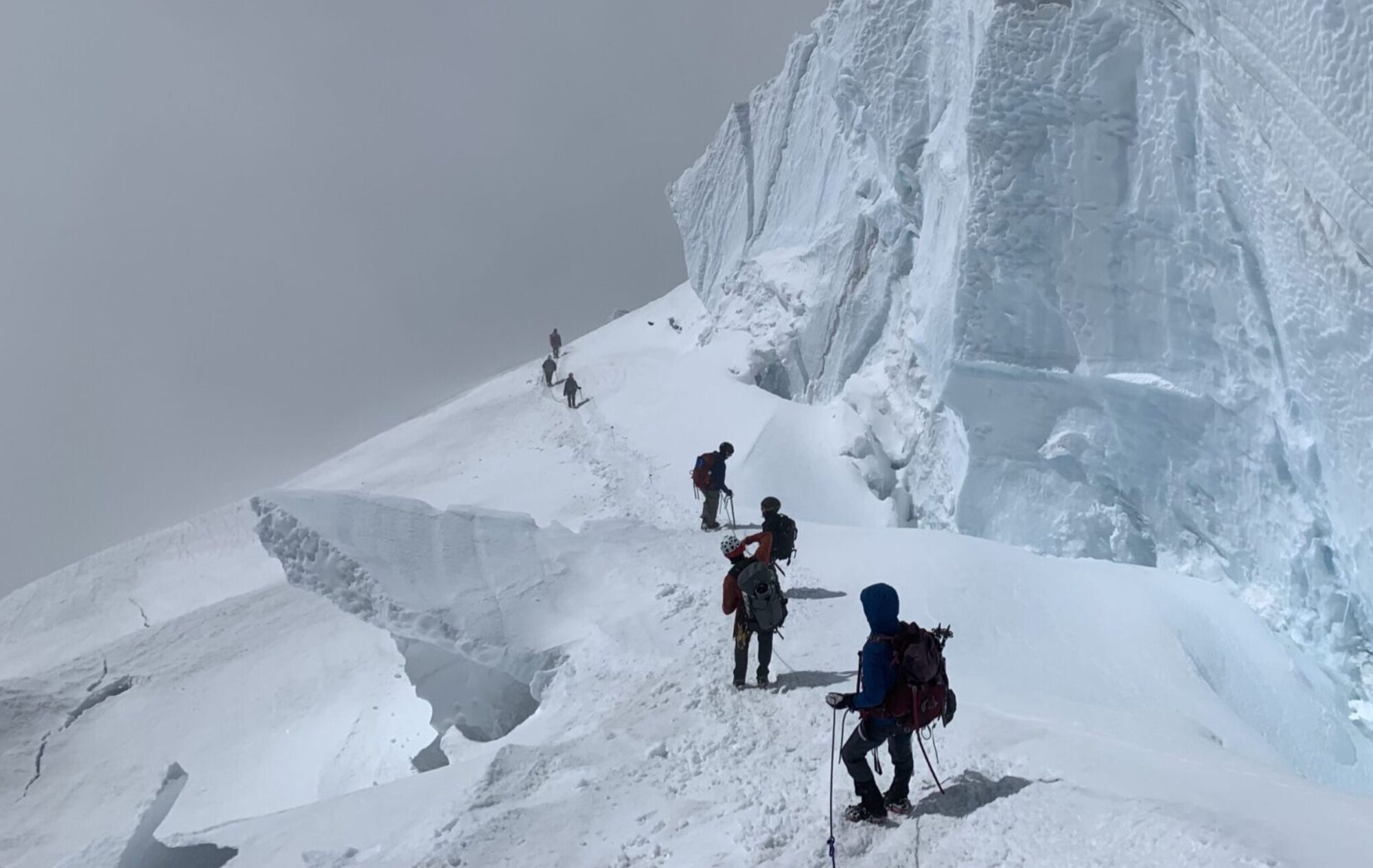
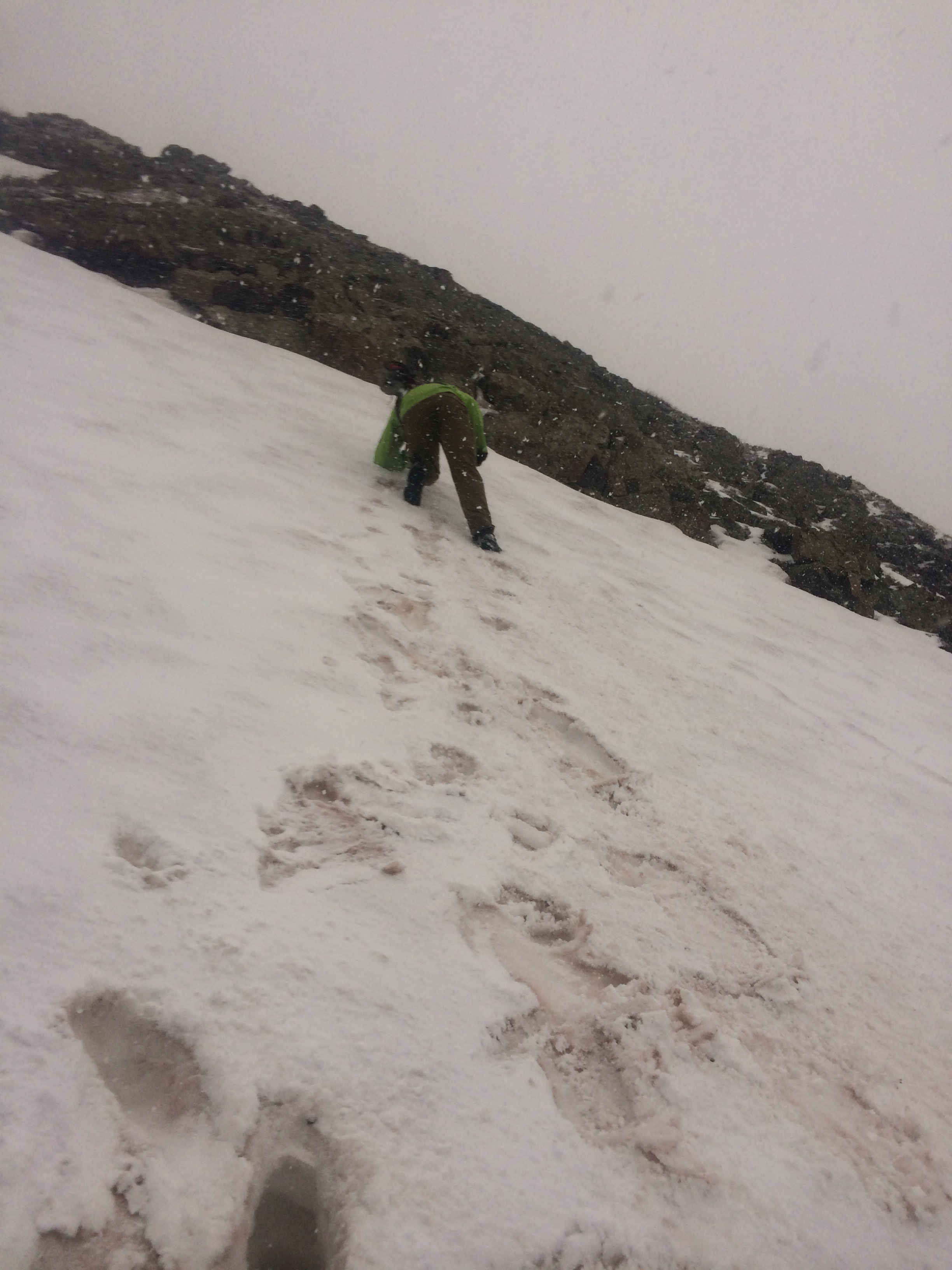
We set up camp near the top of the basin around 2:00pm. Our plan was to continue up and climb the 4 peaks: Windom, Sunlight, Eolus, and North Eolus. We decided on Eolus and North Eolus, because we wanted to get them done in the daylight. Starting from Twin Lakes at 12,500 feet, there was continuous snow to the summit. The snow was soft and we were postholing quite often. However, it could have been much worse. It was slow going through all of the snow, but we eventually made it to the saddle between North Eolus and Eolus.
After a quick detour to North Eolus, Eolus looked treacherous with snow all over the standard route. James waited for us on the saddle while I took Andrea up Eolus. We stayed right on the ridge all the way and as luck would have it, we were able to avoid most of the snow. It was getting late enough however that we decided not to head over to Windom and Sunlight.
We were able to plunge step and glissade down fast enough that we made it back to camp in the light. I tried my home made glissading sled out and it worked great! Although it does require some modifications.
June 7: Chicago Basin Death March
I planned to wake up at 3:00 am to climb the 4 peaks, so I would have a good idea of how long these peaks would take during the record attempt. However, in my dreams I heard birds chirping, and next thing Andrea was shaking me awake saying it is already 5:00 am. I jumped out of my sleeping bad with some choice words and ate and was started by 5:30 am. Hiking by myself, I made decent time on the firm snow. I made Windom by 7:00 am, and was on Sunlight at 7:50 am. It might have been faster but I was too chicken to glissade the bullet proof snow off of Windom.
Coming off of Sunlight, the snow was softening up, so I was able to glissade and save some time. By 9:30 am I was back up at the North Eolus and Eolus saddle, and at about 10:45 am I was back down at Twin Lakes. It was perfect timing because Andrea and James were on their way up, so I joined them to climb Windom and Sunlight again.
It was much more difficult and time consuming now that the snow was soft. Near the top of the red gulley on Sunlight, I was postholing up to my chest and trying to crawl like a monkey, but failing miserably through the soft snow.
After a brief snowstorm on Sunlight we came down, broke camp, and began the 16 mile Death March back to the car. It was well after dark by the time we were finished.
June 8: Adventures on the Dirt Bike
Since we were late the previous day, we rescheduled my dirt bike scouting for today. The main goals today were to scout out Ophir Pass, Cinnamon Pass, and a rough connecting road between Ouray and Cinnamon pass. The dirt bike is a big part of my strategy this year. I am very slow in terms of my hiking pace, so I hope to make up some of my lost time by being fast between trailheads. However, I have very little experience with the dirt bike, and it is still a little intimidating.
I woke up before light, and everything was covered in frost. I tried to get the dirt bike started but for some reason was having no luck. I tried the ignition, tried kickstarting it, and tried rolling it down a hill and popping the clutch. Finally James helped me load it on the pathfinder, and we drove it a mile up the road, then I coasted and was able to finally get it started by popping the clutch while rolling fast. It seems the dirt bike does not like to start in the cold.
I drove over Ophir pass, which had only just opened. At the top there is a narrow corridor through deep snow that seems barely wide enough for the Pathfinder. The pass is for the most part easy for the motorcycle, but on the way back I managed to lose control of my motorcycle in some loose rocks and nearly went flying off the mountainside. My confidence was gone and a short time later I crashed into the snowbank and injured my wrist. Fortunately the bike was fine, and I made it back to Andrea and James without any further trouble.
Then we headed to Silverton and up Cinnamon pass. James and Andrea headed over Cinnamon pass while I continued towards Engineer pass and then turned left towards Ouray. This road was very hard for me, even on the dirt bike. It often has a huge dropoff on one side and the road has lots of very technical spots. I crashed again on a downhill and had a very difficult time picking the bike back up. Finally I made it down to the highway between Ouray and Silverton. Then I had to turn around and go back up. Unfortunately, a lightning storm had begun, and the road was now wet. I figured it was good practice because during the record I would be on this road in the dark.
I did a little better on the way up, although at one obstacle I went so fast that my legs and butt were launched up off the bike, and I barely held on with my hands. Once I landed I accidentally swerved right and almost went off the precipice of doom, and then swerved left and crashed into the side of the hill.
My confidence was completely shaken, and I think the prudent call will be to avoid this road during the record! I continued up to Cinnamon pass which in comparison seemed like a paved road.
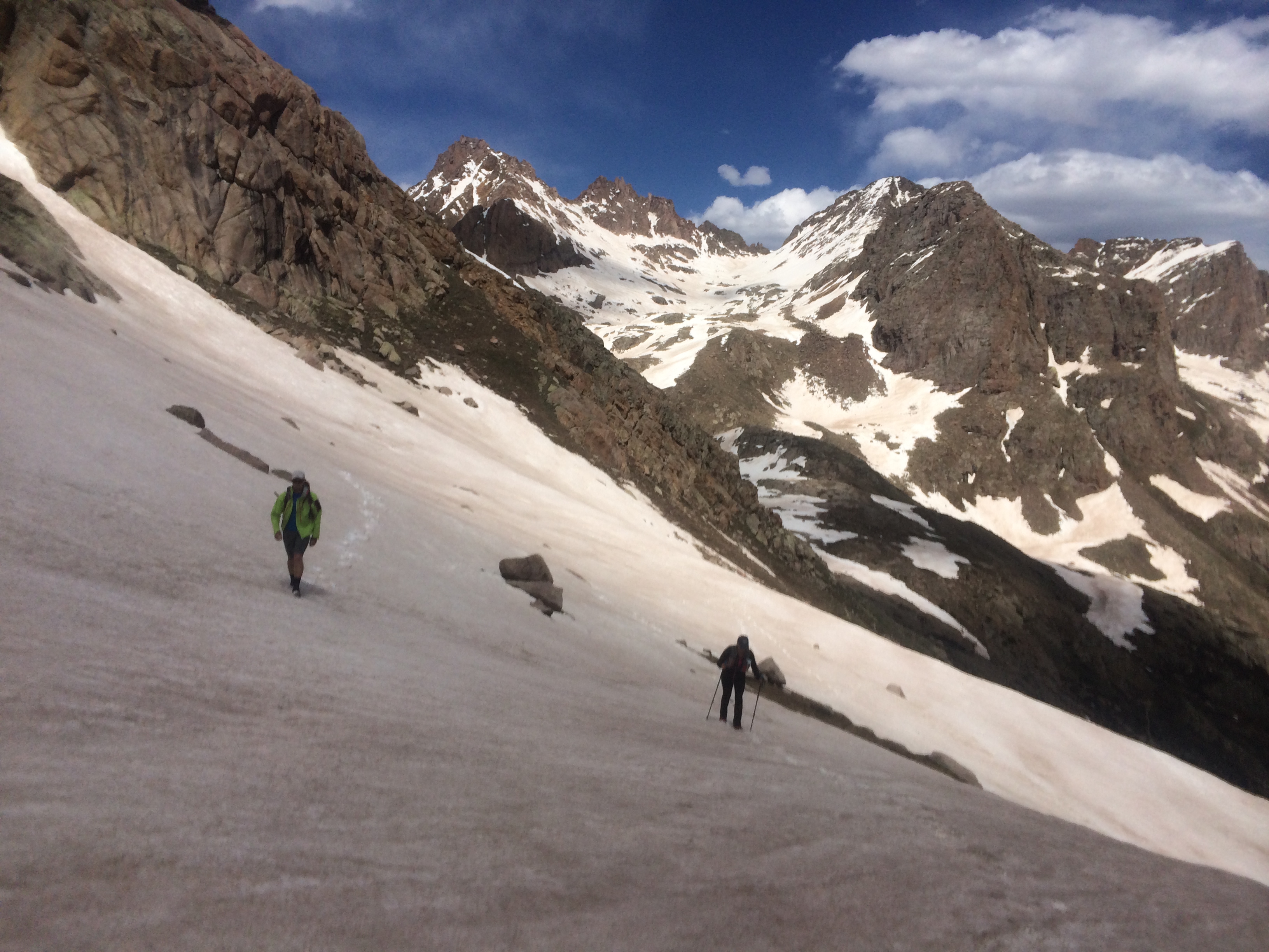
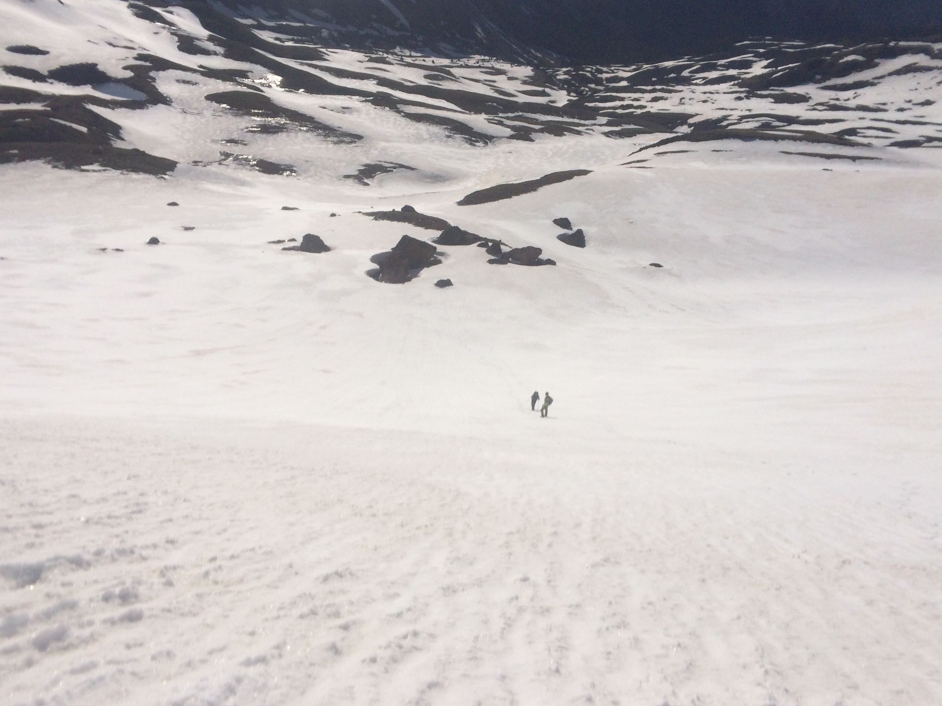
I met back up with James and Andrea and we set off for a late hike up Handies. Starting around 11,400 feet in American Basin, there was snow everywhere, and we immediately started postholing. We sent James, the heaviest of us, up ahead as the guinea pig. Earlier this year, Homie told me about a direct route up Handies, so we chose one of many ribs up the West Face of Handies. It started snowing and before long felt like a blizzard. The snow was either blowing straight up or sideways. It would hit for awhile, and then it would break for awhile, before another wave would hit. We didn’t know it, but the whole state was experiencing bad weather that day.
We tried to come down the standard route, and were able to glissade a little, but then it turned into a postholing nightmare on the way out.
We made it back to the vehicles and went to the Silver Creek/Grizzly Creek TH to camp for the night. I was much faster on the motorcycle and made it to the trailhead just before a massive hailstorm. I ran for cover in an old cabin, and when the pathfinder finally came by I waived them in. We stayed in the cabin during the worst of the storm, and tried to get the car organized. Then I went out and set up the tent. Somehow, in the cabin during the storm I was able to send a message to Natalie with my satellite tracker, and she let us know that the next day would be sunny!
June 9: Redcloud and Sunshine
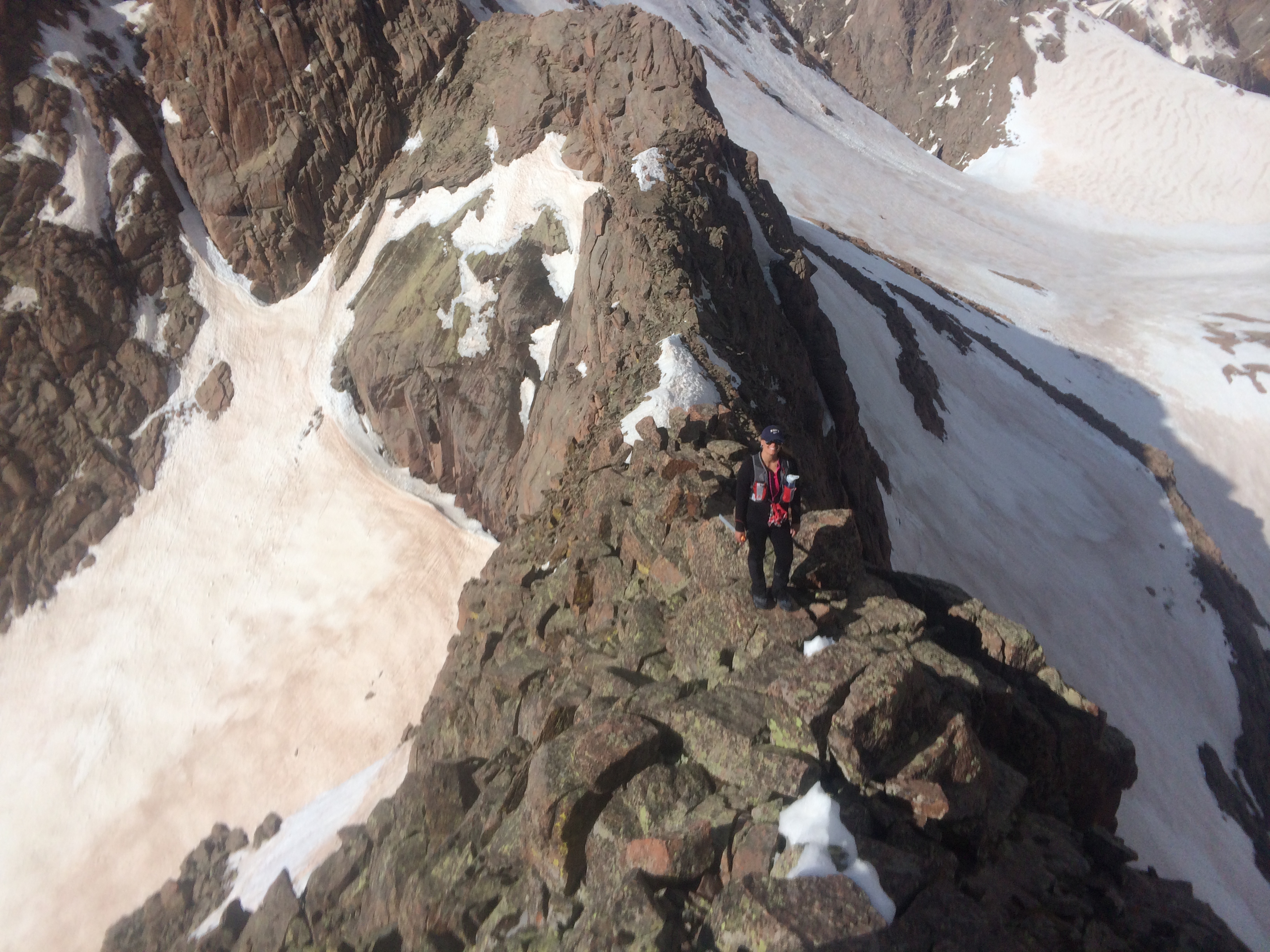
We were up early for a climb up Redcloud and Sunshine. Rather than taking the standard route up Redcloud, we headed for Sunshine. The snowpatches were deep in the enchanted forest, and it was not uncommon to fall through to your ankles, knees, or waist. However, since it was early the snow was still relatively hard. We found a steep snowfield that took us most of the way to the Redcloud Sunshine saddle, and then climbed Sunshine. There was one nasty false summit on the ridge to Redcloud.

On the summit, we decided to split up. I wanted to check out a couloir for a quick descent, and James and Andrea went down the standard route. Thanks to my sled I had a nice descent, and had to wait for James and Andrea lower down on the trail. They said the standard route on Redcloud was horrible with lots of postholing, so I think I will try to avoid that during the record attempt.
Then we drove out to Lake City, and up to the Nellie Creek trailhead. For scouting purposes, I took the bike up the 4 wheel drive road but chickened out at a big stream crossing. I was afraid I would drop the bike in the water, and render it inoperable. So I turned around and checked out the Matterhorn Creek 4 wheel drive road, which I was able to do, although I crashed yet again.
June 10 Uncompahgre Wetterhorn
We woke up early and drove the pathfinder up the road, past the dreaded stream crossing, but were stopped by a big snowbank at about 10,400 feet. We started hiking from there, and saw that if someone was just able to make it through that one snowbank then it would pretty much be smooth sailing all the way up to about 11,200 feet. Then there were lots of snow patches, although we could see that some dirt bikers had managed to make it all the way to the upper trailhead.
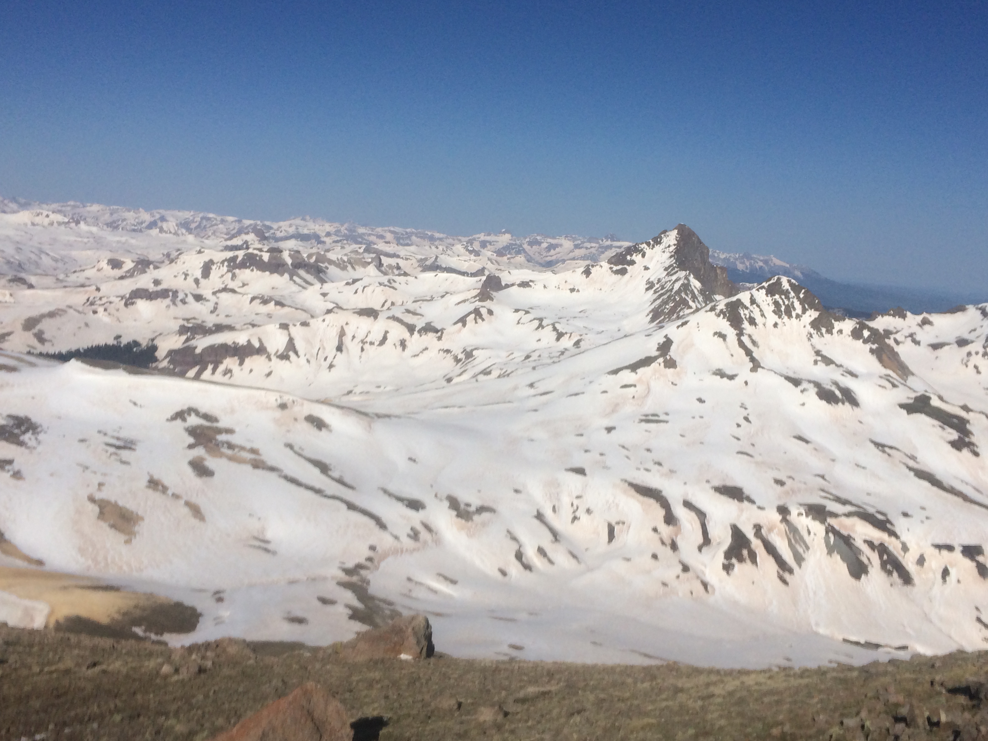
This was a crazy day because of how much snow was still up here. A short distance from the upper trailhead we were walking on snow that did not let up until the summit. We were able to follow a very direct route, but I was concerned about the route because during the record attempt I will be up here late in the day when the snow is much softer and it could make for an epic disaster. I will probably have to bring snowshoes.
The view from the summit of Uncompahgre offered no relief. It was solid white all the way to Wetterhorn. After a short nap on the summit, James headed back to run the shuttle, and Andrea and I continued on to Wetterhorn.
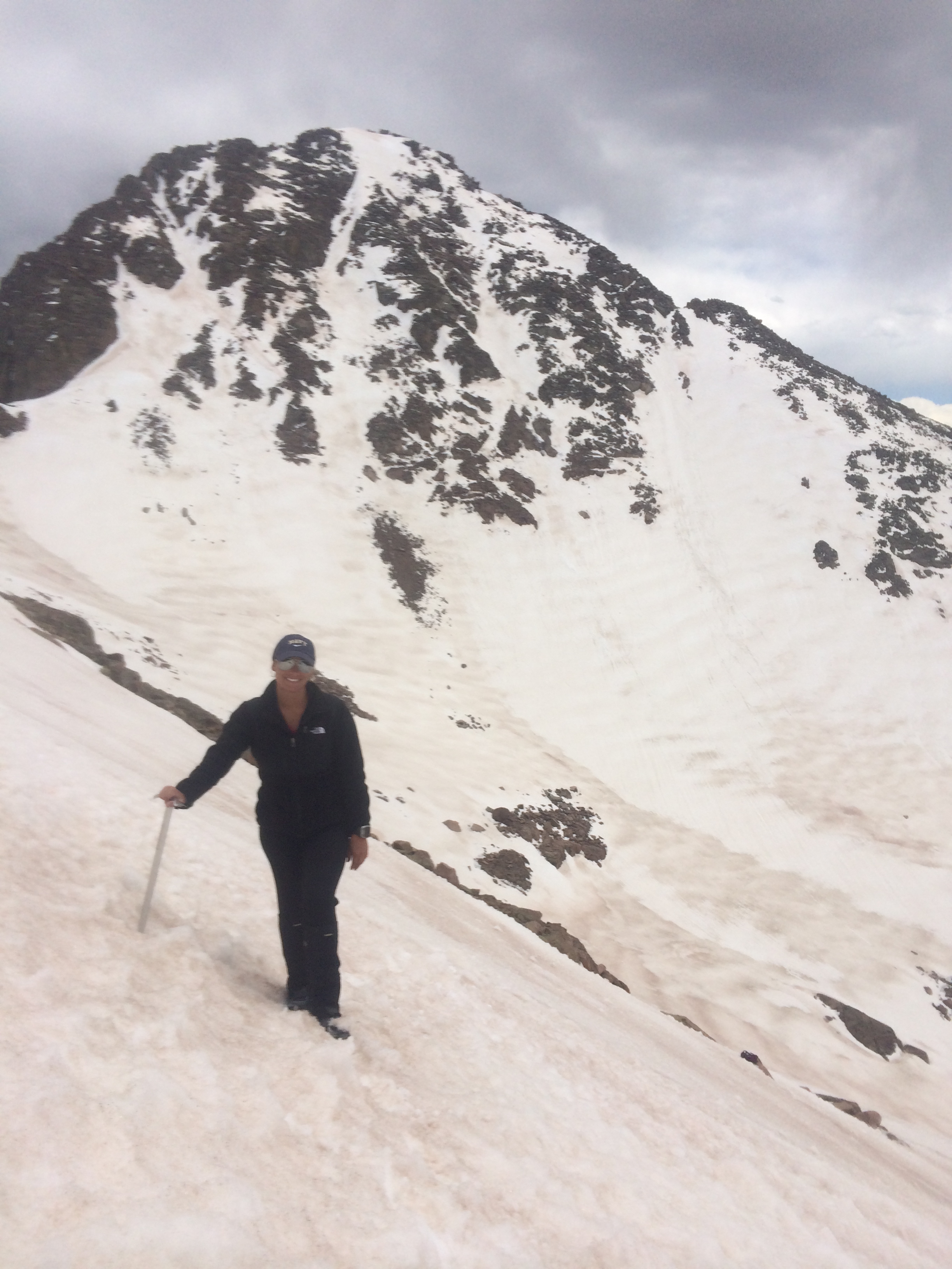
We decided to ascend the South East face of Wetterhorn, since it was completely snow covered. This was scary as the bottom is littered with avalanche debris, although the debris seemed old so I didn’t think it was a big concern. Nevertheless, I was scared for the entire climb.


Thankfully, despite the snow getting soft, we managed to stay on relatively solid snow. The snow took us all the way up to the last 100 foot “crux” of the standard route. Although after the steep snow climb that last hundred feet on dry rock was a welcome relief. We took the standard route down and suffered some nasty deep postholing once we were down by the trees.
James was waiting for us, and then it was time for what seemed like a neverending drive to Aspen, to take James home.
June 11: Pyramid
I let Andrea rest today while I scouted out a western route on Pyramid. I didn’t start until around 7:00 am, and saw some skiers coming down the Bell Chord couloir.
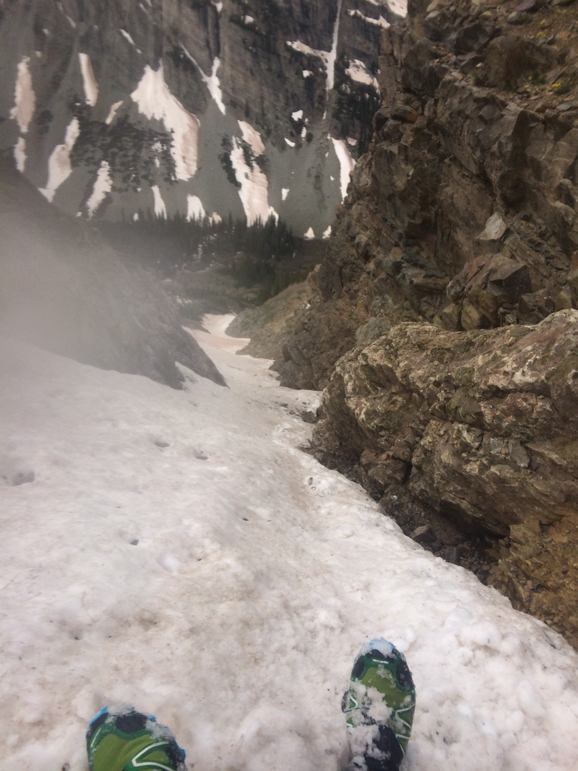
A short distance after the turn to the Bell Chord couloir, I bushwhacked across the raging stream and found my way into a steep snow couloir. I felt terrible and kept thinking I would turn around, but managed to keep on going. The snow couloir ended right at 13,000 feet, where it joined up with the northwest ridge route on Pyramid. I was literally shocked to see all of the snow that is still up in the Elks. Snowmass truly lives up to its name and is a solid white mountain.
I continued on a little further until I ran out of energy. I glissaded the 2500 feet back down the couloir I had climbed up, but took it very slow because of how steep it was.
That was the end of the big scouting trip. If you hit the snow early in the morning it can allow for very fast travel. The bad news is that I will also be up in the snow in the afternoon when the snow is soft. So it seems like it will be a big blow to my chances to set the record. However, maybe a few glissades will save enough time (and save some downhill wear on my knees) to keep my chances alive.
Thanks James and Andrea for a great trip!